

Photo Import
Photo Import scans the dates and locations in your photo library on the device, groups them into suggested trips, and saves nothing until you review and confirm. It is one of the ways to add past trips.
Start Photo Import
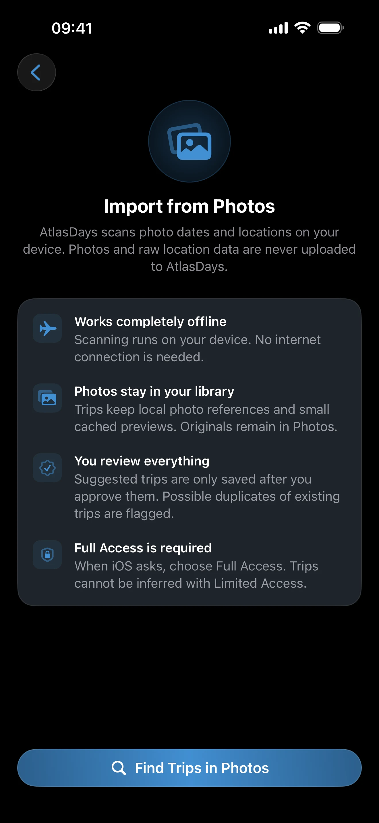
- Open Settings → Import → Photos.
- Tap Find Trips in Photos.
- When iOS asks, choose Full Access. Trips cannot be inferred with Limited Access.
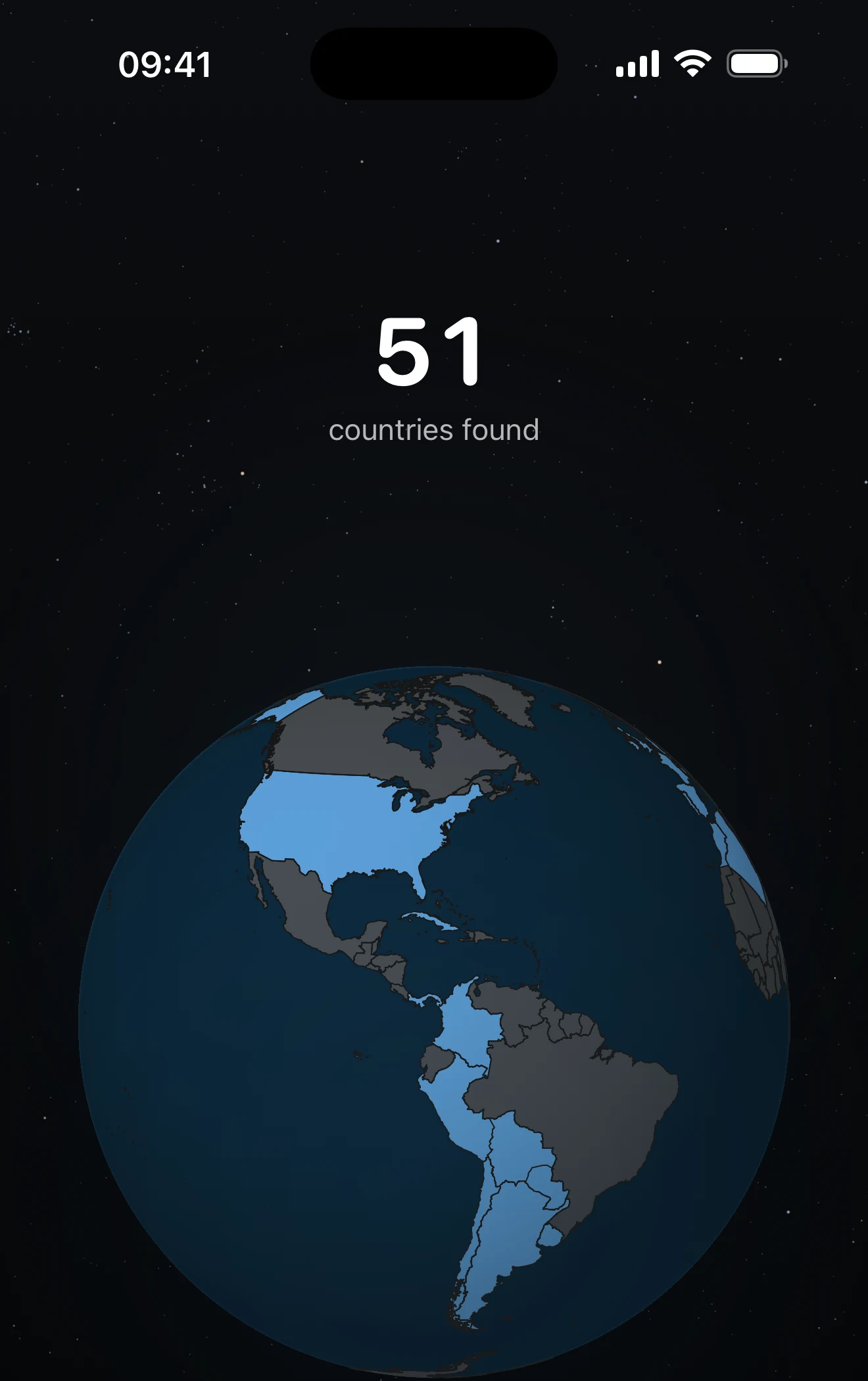
- Keep AtlasDays open while it scans, then tap Review N Trips.
What AtlasDays examines
AtlasDays reads the timestamp and location of photos and videos, and always scans the whole library. Screenshots and screen recordings are skipped. The scan and country lookup run on your device, work offline, and nothing is uploaded to AtlasDays. Saved trips keep local references to the photos and small cached previews; the originals stay in Photos.
Review every proposal
The review screen, Found in Photos, lists the proposed trips. Summary rows show counts of duplicates, merge candidates, overlaps, possible transits and, for Pro, US states. Each trip can carry a pill such as Duplicate, Merge, Overlaps existing, Gap inferred, Near border, or Single photo.
- Tap a trip to change its country or dates, or to leave it out. Use Select All or Deselect All for the whole list.
- A trip starts on the date of the first photo in a country and ends on the date of the last one, so the dates are estimates. A photo saved from a message or the web can add a country you never visited.
- US states are proposed as separate trips for Pro. Without Pro, they import as plain United States trips.
- If no Home Country is set, a row lets you confirm one so days abroad can be counted.
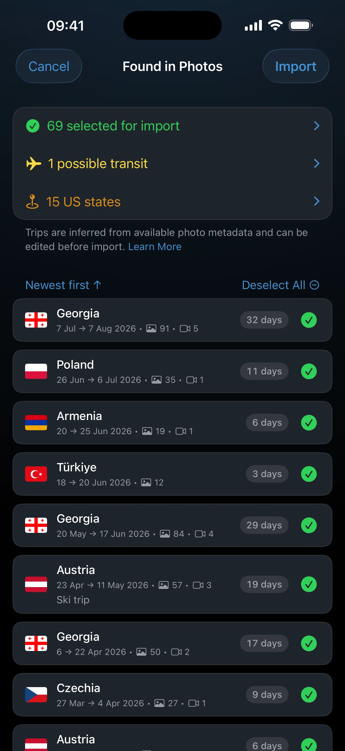
Tap Import, then confirm to save the selected trips to Timeline. Learn more on the review screen opens How trips are inferred.
Photos are evidence, not proof. Short stops between two nearby trips may be marked Transit, which never counts toward day totals. Turn Transit off for any stop where you spent time in the country.
Handle gaps conservatively
Photos without location cannot support a suggestion, and long gaps between geotagged photos may produce boundaries that need manual correction. Edit the saved trip in Timeline when you have better evidence. To attach photos to trips you already have, use Find Photos in the Timeline menu instead; see Timeline tools.
If no trips are found
If Photo Access Needed appears, open iOS Settings and give AtlasDays Full Access to Photos. If the scan finishes with No trips found in your photos, check that location was on when the photos were taken; trips already in Timeline are flagged as duplicates rather than proposed again.
Last updated September 30, 2026